



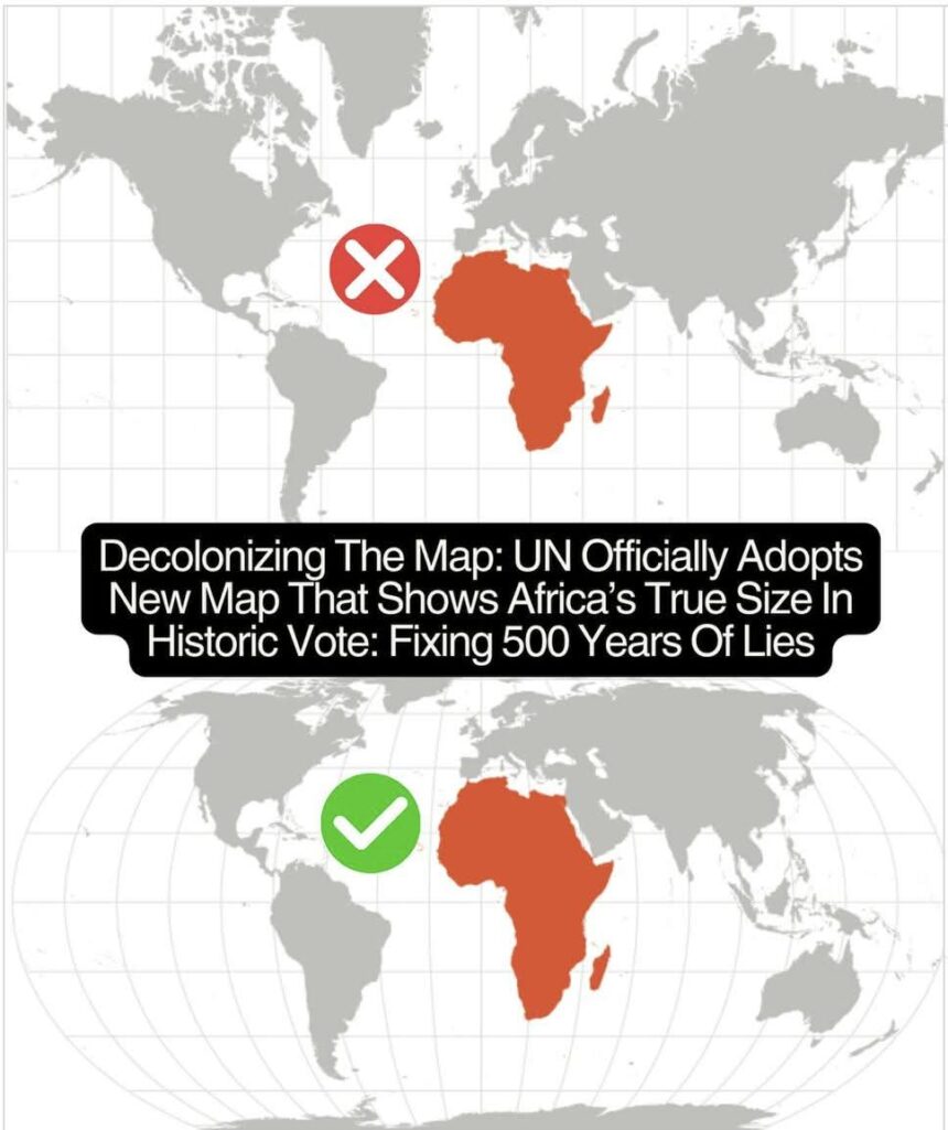
In a historic vote on Friday, September 4, 2026, the United Nations General Assembly passed the Togo-led “Correct the Map” resolution, encouraging the world to move away from the centuries-old Mercator projection.
For 500 years, traditional Mercator maps have severely distorted global geography—making regions near the poles (like Greenland and Europe) appear massive while shrinking equatorial regions, making Africa look much smaller than it actually is. In reality, Africa is 14 times larger than Greenland!
The UN now recommends adopting equal-area representations, such as the Equal Earth projection, to reflect the true proportions of all continents accurately. While the resolution is non-binding, it marks a major milestone toward decolonizing global education and cartography.